A 3D Survey of the Peak District Caves
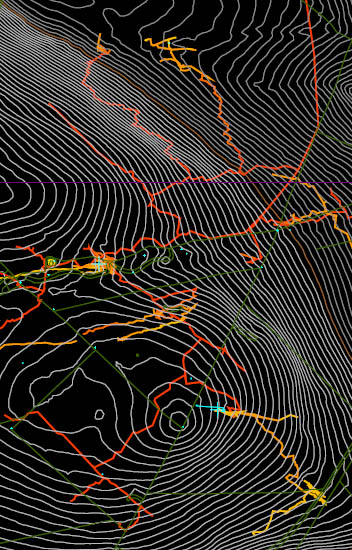
The aim of the Peak Survex Project is to produce a complete integrated 3D survey of all the caves in the main catchment areas of the Peak District and for it to be made publically available.
So far Castleton, Bradwell and Stoney Middleton catchments have been included. Each has a 3D surface map, from a mixture of public and private sources, allowing depth from surface queries to be completed quickly and accurately.
This is an ongoing project which grows as more data gets collected and entered. It has taken over 5 years to get to the detail it is now. It is managed by Dave Nixon and Rob Eavis. Please send in any survey data for cave passages that are not yet shown on the models, and please contact us for tie-in stations prior to your surveying trips.
Credit is due to all those who have assisted the project, by surveying, radio locating and contributing their own data. In addition gratitude is due to the show caves and landowners for allowing ongoing access to normally restricted areas. Also, a special thanks to Gene Hammond who's help with GIS mapping and GPS fixing has been of immense value.
Model files (updated 17/02/2021)
- Peak (no surface)save_alt
- Bradwell (no surface)save_alt
- Castleton (no surface)save_alt
- Stoney Middleton (no surface)save_alt
- Lathkillsave_alt
- Peaksave_alt
- Bradwellsave_alt
- Castletonsave_alt
- Stoney Middletonsave_alt
- Wyesave_alt
Survex is an open source cave-surveying software package, licensed under the GPL. It is designed to be portable and can be run on a variety of platforms, including Linux/Unix, macOS, and Microsoft Windows. Survex is available for download at https://survex.com/